What caused the sudden devastating flood in Bangladesh?

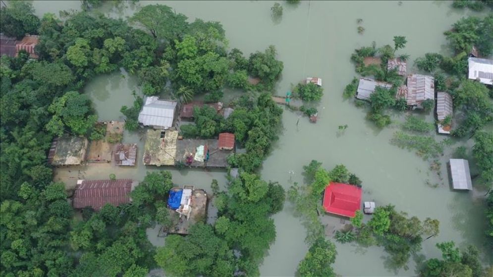
Floods in Bangladesh; Photo Credit: Nazmul Islam
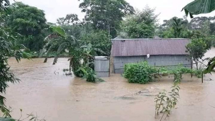
Bangladesh is grappling with a rising tide of floodwaters in eight of its districts, as heavy rainfall and upstream water releases converge to create a challenging situation for residents.
This unfortunate turn of events was not entirely unforeseen.
The Meteorological Department's long-term forecast at the start of the month had sounded the alarm for potential short-term flooding in the northern, north-central, and southeastern regions of the country.
Excessive rainfall, driven by the monsoon winds, was identified as the culprit.
Within a span of just 48 hours, that forecast has become a reality. The north-central districts of Moulvibazar, Habiganj, and Brahmanbaria, along with the southeastern districts of Cumilla, Feni, Chattogram, Khagrachari, and Noakhali, are all battling floodwaters.
By this afternoon, water levels were reported as follows: the Manu River in Moulvibazar was 115 centimeters above the danger level, the Khowai River in Habiganj was 195 centimeters above, the Gomti River in Cumilla was 77 centimeters above, and the Muhuri River in Parsuram, Feni, was 55 centimeters above the danger level.
The situation remains fluid, and authorities are closely monitoring water levels and providing assistance to affected communities but the deluge has already wrecked havoc across Bangladesh, with the latest reports from the Ministry of Disaster Management and Relief painting a grim picture.
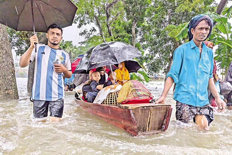
As of Thursday afternoon, a staggering 357 unions across 8 districts are inundated, leaving 440,840 families stranded in waterlogged homes. The human toll is immense, with 2,904,964 people affected and two lives tragically lost in Feni and Brahmanbaria.

What lies behind the crisis?
Sardar Uday Raihan, an expert at the Flood Forecasting and Warning Center, explains that a confluence of factors has triggered this crisis.
The Manu River in Tripura, India, has flowed at its highest level in history and overall, this year’s flooding is severe, primarily due to excessive rainfall, he pointed out.
The combination of the low-pressure system in the sea and the full moon has exacerbated the situation, and the full moon reduced the tendency for tidal waters to recede, he said, adding that the main rivers in the northeast and southeast are overflowing, while high tides and upstream deluges have hampered drainage and inundated low-lying areas.
Moulvibazar, Habiganj, Brahmanbaria, Cumilla, Feni, and Chattogram are among the hardest-hit districts, with communities struggling to cope with the rising waters.
According to Uday Raihan, this region has experienced flooding in the past, but this year, the intensity of the floods in Bangladesh and upstream has been greater compared to other years.
He noted that in some areas, river water levels have exceeded historical records. For example, the Khowai River has seen the highest flow in at least 60 years. Not only in Bangladesh but also upstream, river levels have reached unprecedented heights.
The full extent of the damage remains to be seen, but Uday said the impact on livelihoods, infrastructure, and agriculture is likely to be severe.
He told Bangla Outlook that as the floodwaters continue to rise, urgent action is needed to provide relief and support to those affected.
According to meteorologist A.K.M. Nazmul Haque, the extent of flooding or water logging is heavily influenced by the amount of rainfall upstream. He mentioned that substantial rainfall has been occurring upstream for several days, whereas within Bangladesh, rainfall contributes only 8-10% to the flooding.
“The current floods are primarily due to a combination of heavy upstream rains and significant rainfall in Bangladesh's southeastern regions,” he said.
While heavy rain may persist upstream for the next few days, the likelihood of heavy rain in areas like Feni or Cumilla is expected to decrease starting tomorrow afternoon, he added.

Four key meteorological factors
Mostafa Kamal Palash, a PhD researcher in meteorology and climate at the University of Saskatchewan wrote in Prothom Alo that four key meteorological factors – El Niño, Madden-Julian Oscillation, Jet Stream, and a monsoon low-pressure system – converged to cause the record rainfall and flooding in Bangladesh and Tripura.
Each factor played a significant role, but their simultaneous activity after August 15th led to the unprecedented rainfall, he said
Mostafa pointed out that advancements in meteorology allow for accurate 3-15 day forecasts, with up to 90% certainty for 3-day predictions. “This means the recent extreme weather could have been predicted 10 days in advance,” he said.
Mostafa also said the Bangladesh Meteorological Department is responsible for failing to provide this crucial forecast, and the government and media should demand an explanation for this oversight.
India's Tripura government has constructed several dams and barrages on the Gomti and Muhuri Rivers, used for various purposes like water storage, electricity generation, and agriculture.
These structures were already filled to capacity as the monsoon season started in June, Mostafa said, adding that heavy rainfall between August 19 and 20 further overwhelmed these dams, forcing Tripura authorities to suddenly open their gates on the night of August 20.
“Critically, no prior information about this action was shared with the Bangladesh government and that has caused this sudden havoc,” he said.
—-

